Professional Utility Locating & Mapping Services in New Jersey.
Professional Utility Locating & Mapping Services in Rhode Island
Protect your project with accurate Utility Marking, Concrete Scanning, GPR Scanning, Utility Mapping, GPS/GIS Mapping, and Private Utility Locating services across New Jersey.
Protect your project with accurate Utility Marking, Concrete Scanning, GPR Scanning, Utility Mapping, GPS/GIS Mapping, and Private Utility Locating services across New Jersey.
ABOUT US
Reliable
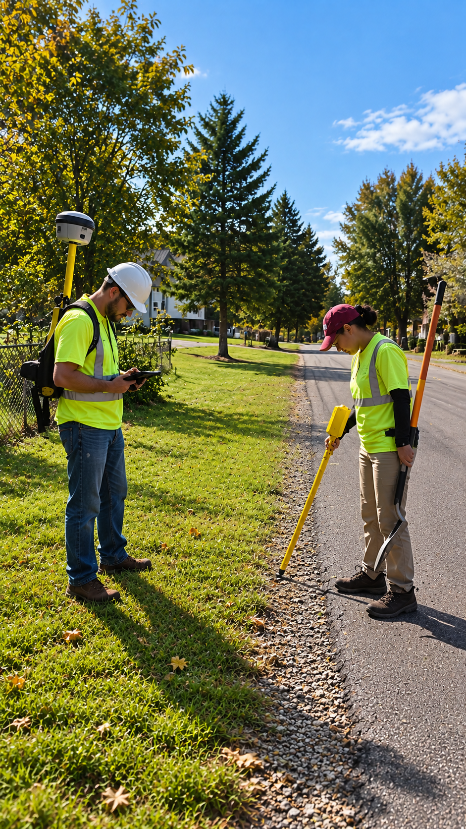
At Utility Locating & Mapping Trenton, we specialize in Utility Marking, Concrete Scanning, GPR Scanning, Utility Mapping, GPS/GIS Mapping, and Private Utility Locating throughout New Jersey. We help contractors, engineers, surveyors, municipalities, and property owners locate underground utilities with precision before excavation begins. Our goal is to improve job site safety, prevent utility strikes, minimize project delays, and reduce costly repairs through reliable underground utility detection services.
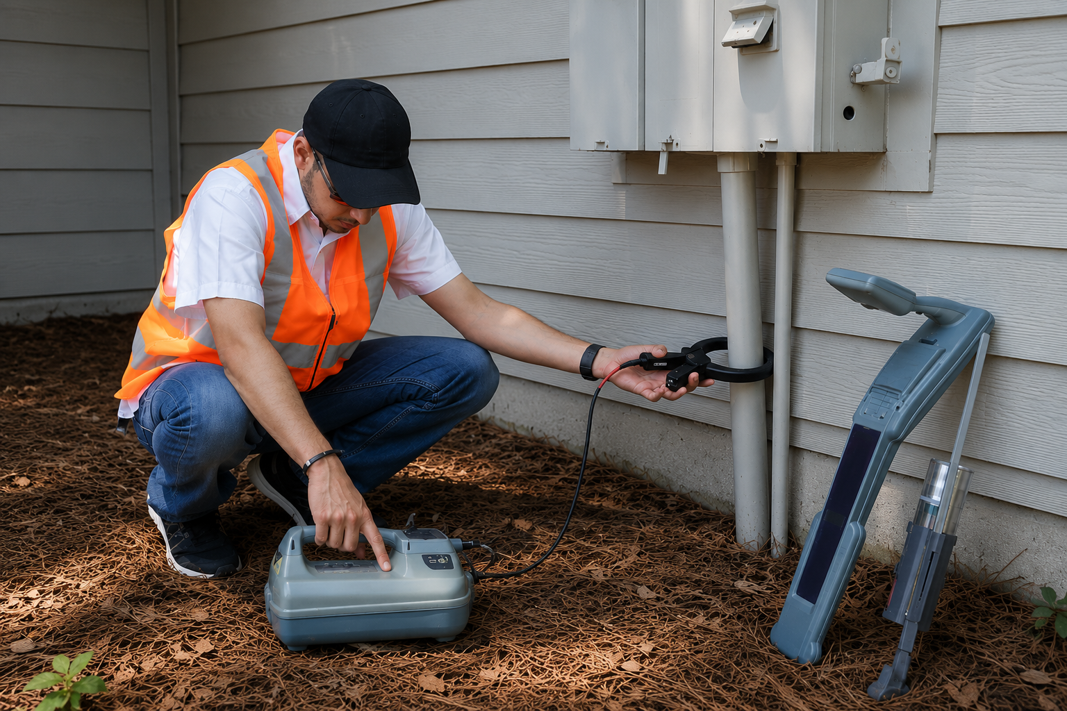
Our team uses advanced GPR technology, electromagnetic utility locating equipment, and high-accuracy GPS/GIS mapping systems to identify and document buried utilities. Whether you're planning excavation, trenching, directional drilling, concrete cutting, coring, or a large-scale construction project, we provide accurate utility locating and mapping solutions tailored to your needs. Every project is completed with a strong focus on safety, compliance, and dependable results.
We are committed to delivering fast response times, professional service, and accurate underground utility data that helps clients make informed decisions. From residential, commercial, industrial, and municipal projects, Utility Locating & Mapping Trenton is your trusted partner for utility locating services in Trenton, NJ, GPR scanning, concrete scanning, GPS/GIS mapping, and utility marking. When accuracy matters, you can rely on our experienced team to protect your project from the ground up.
Our Services
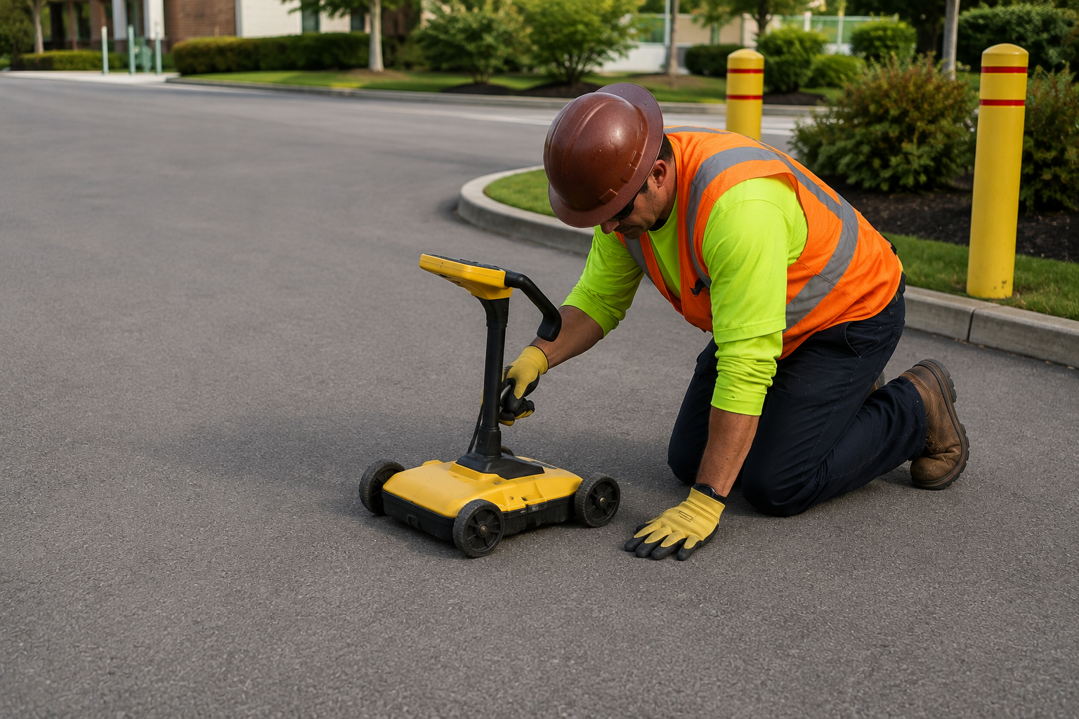
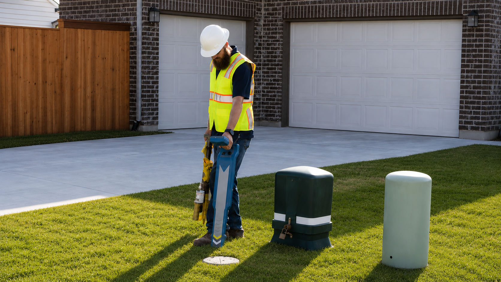
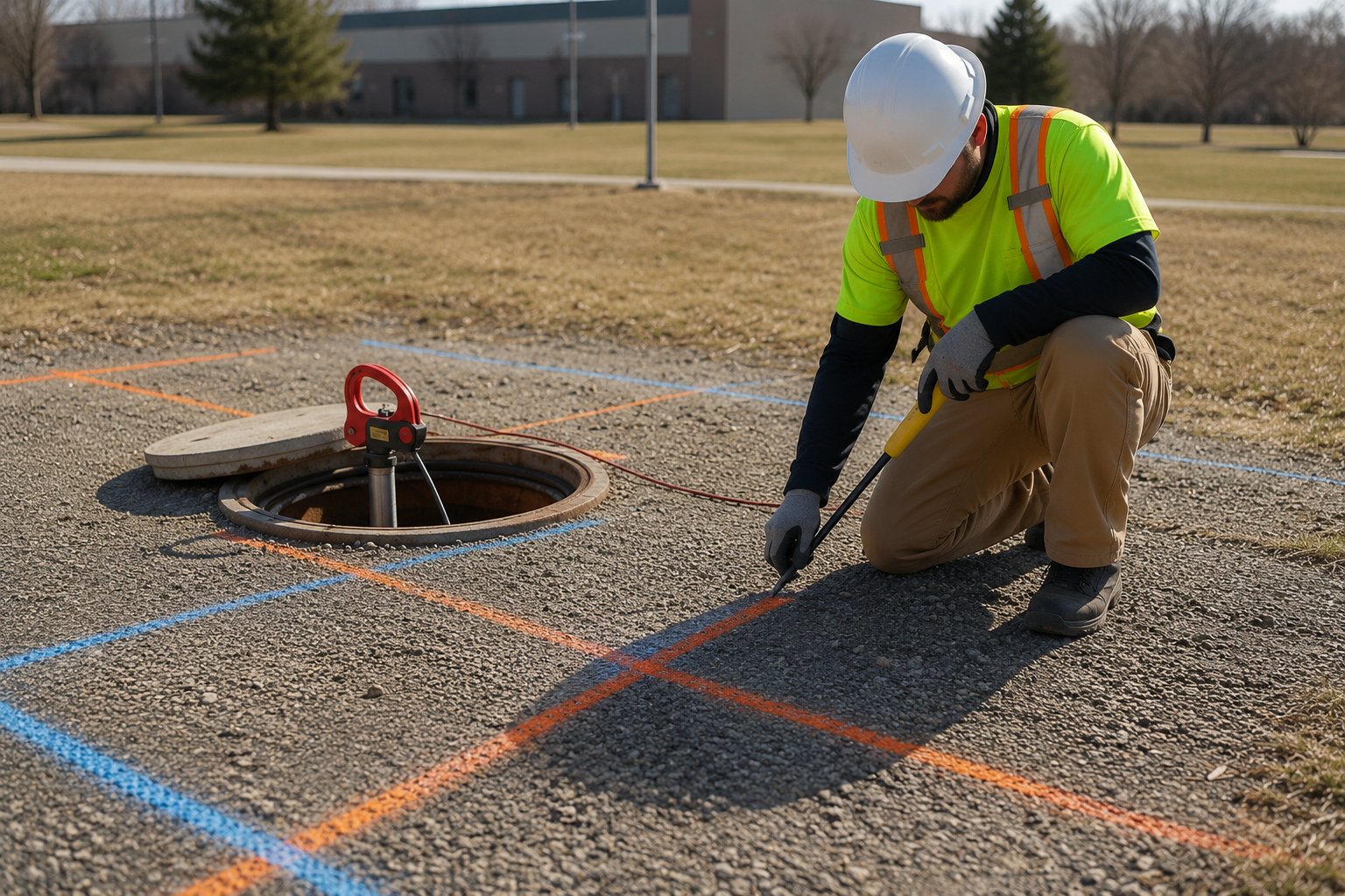
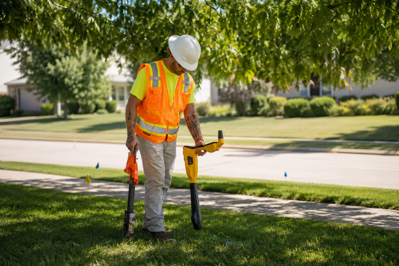
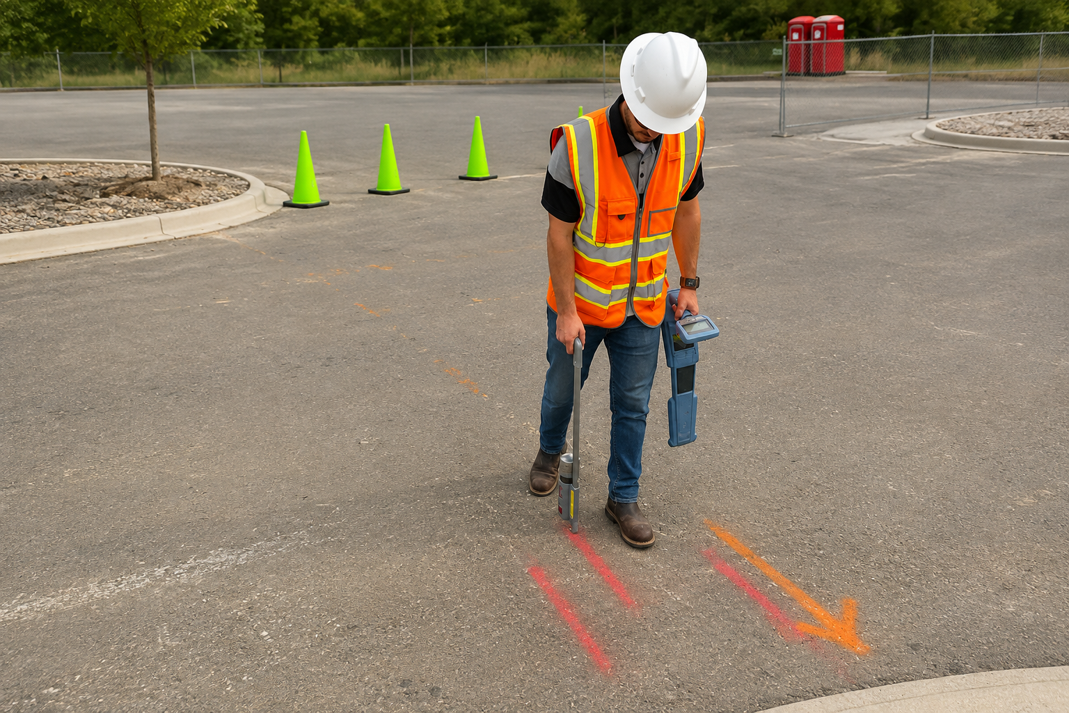
Our Utility Marking services clearly identify underground utility paths before digging, helping ensure safer excavation, regulatory compliance, and greater protection for workers and infrastructure.
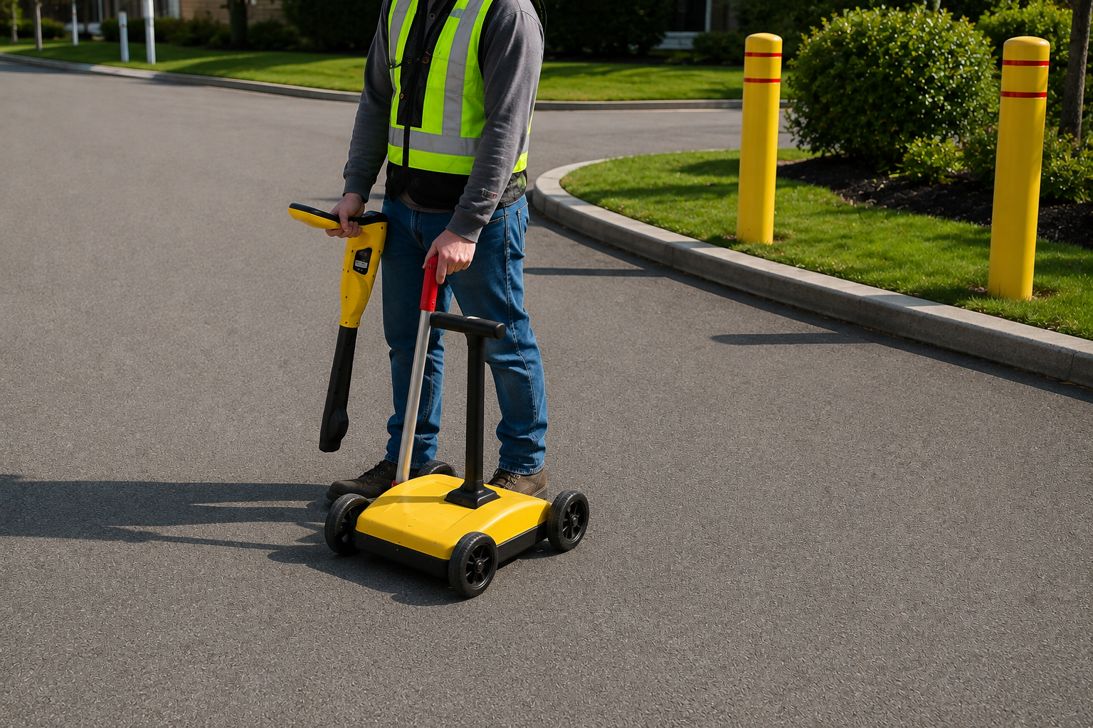
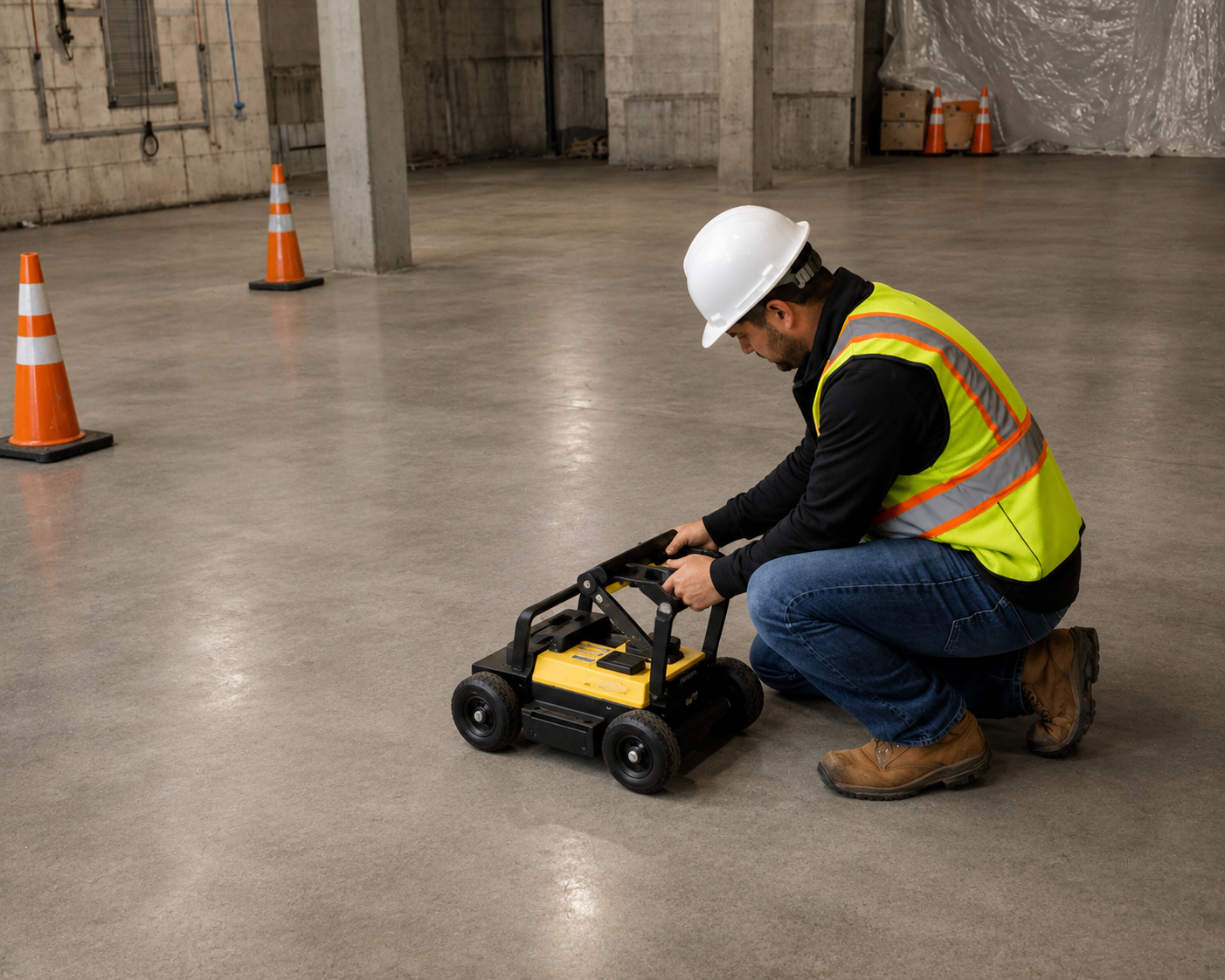
We provide Concrete Scanning to locate rebar, post-tension cables, conduits, and embedded utilities, allowing safe drilling, cutting, coring, and renovation work.
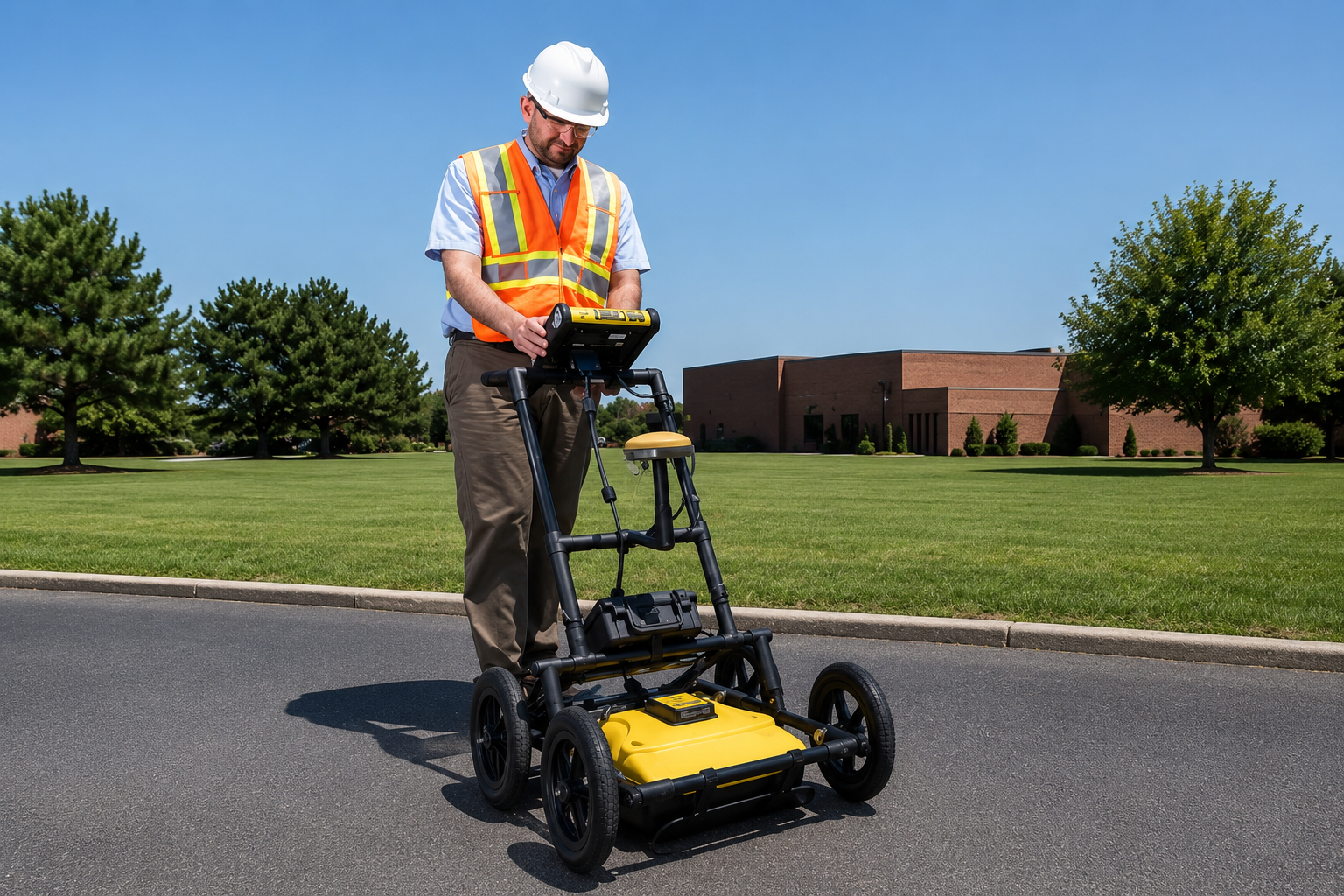
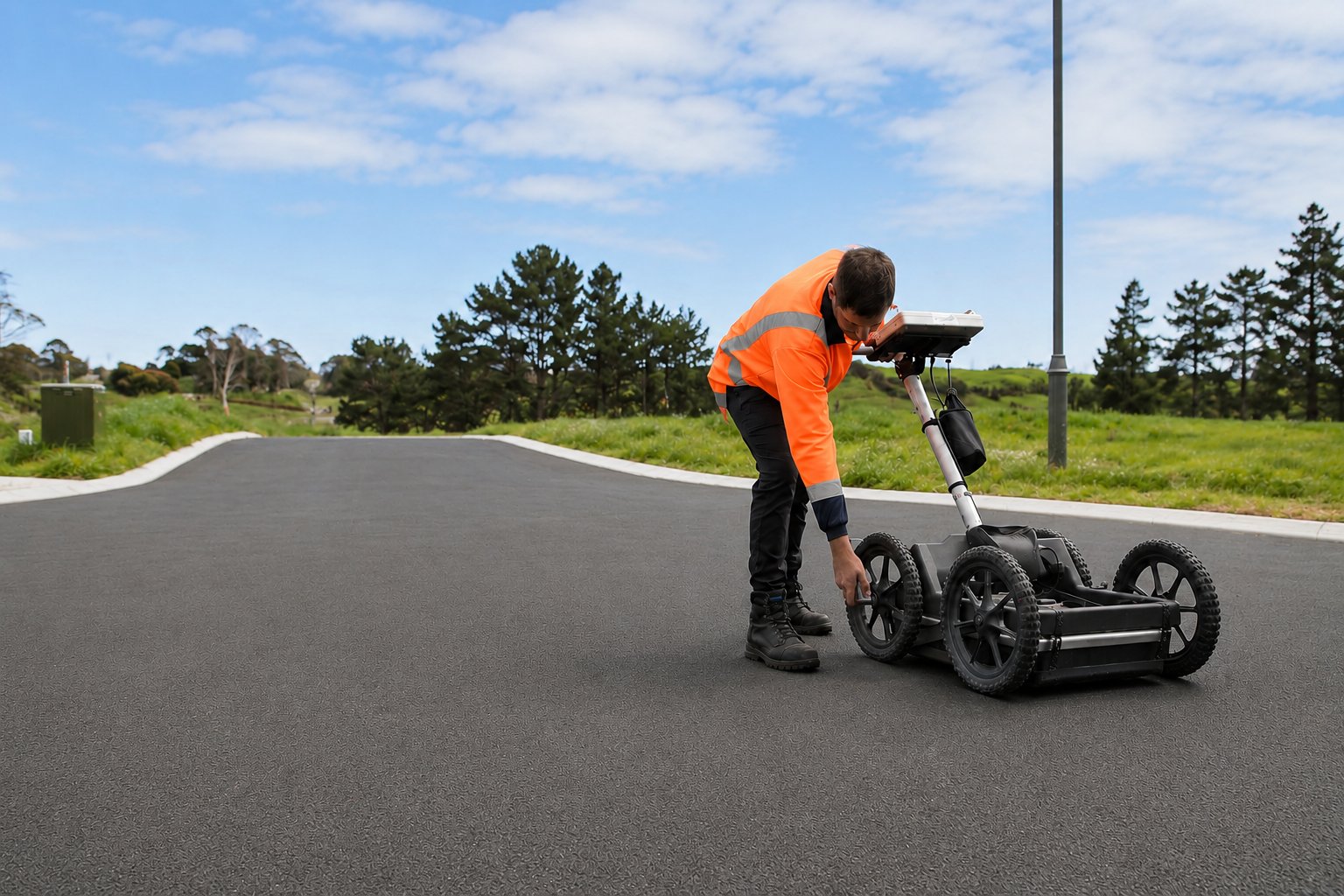
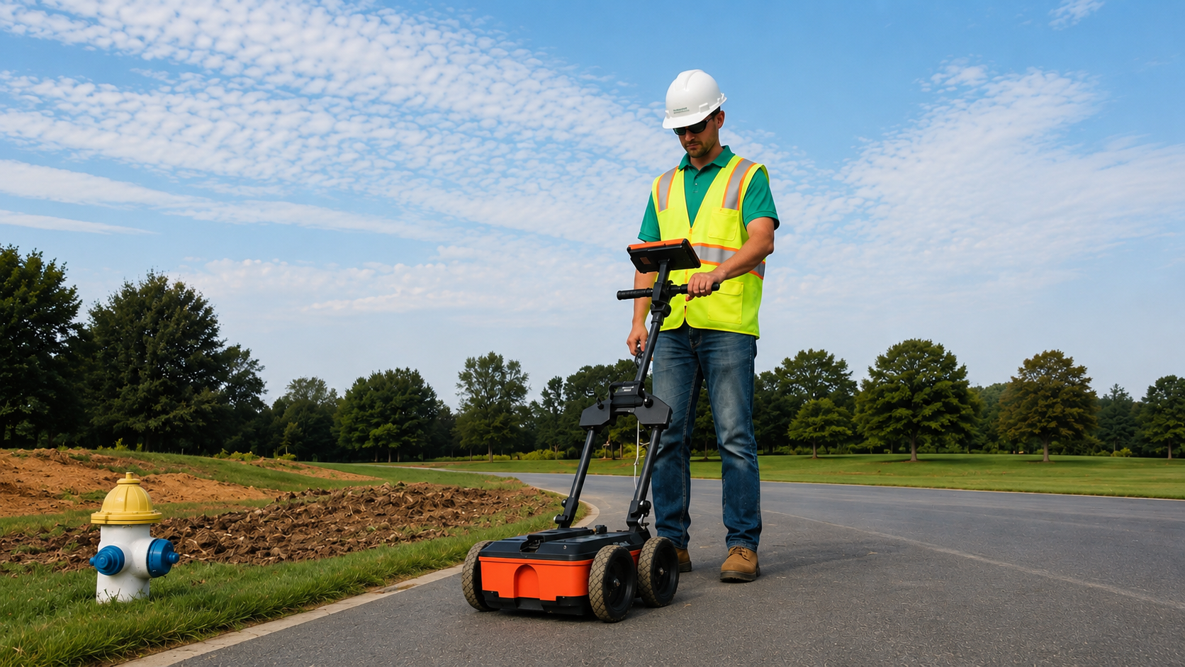
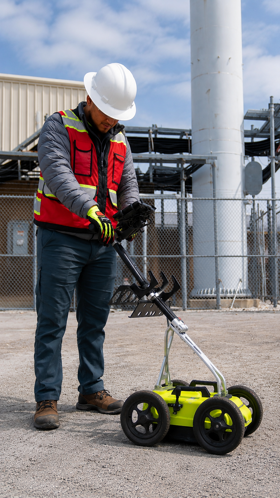
Our Ground Penetrating Radar (GPR) Scanning services detect buried utilities, voids, and subsurface objects without excavation, providing accurate underground data for safer and more efficient construction projects.
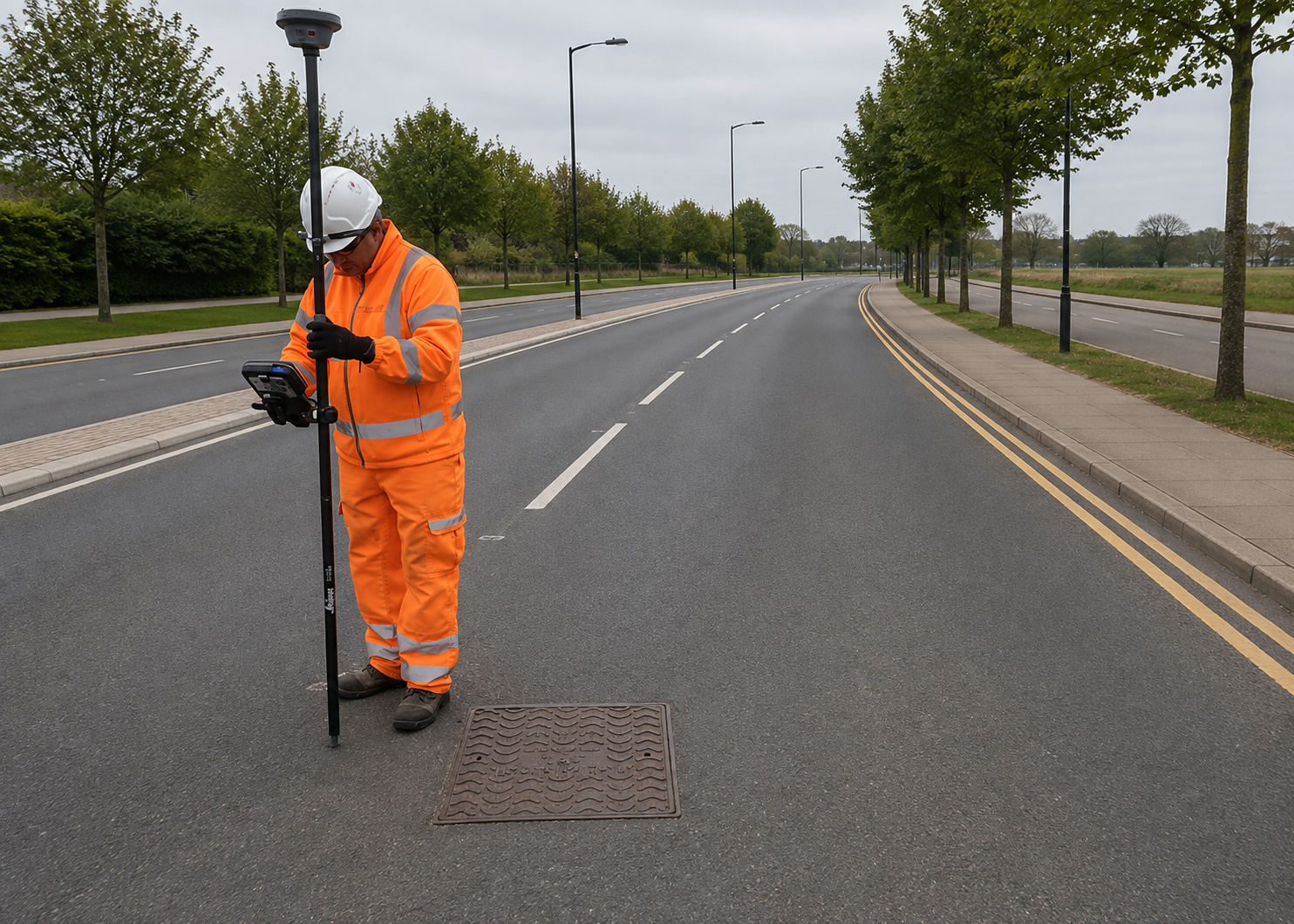
Our Utility Mapping services create detailed underground utility records using advanced locating technology, helping engineers and contractors plan projects with greater confidence and accuracy.
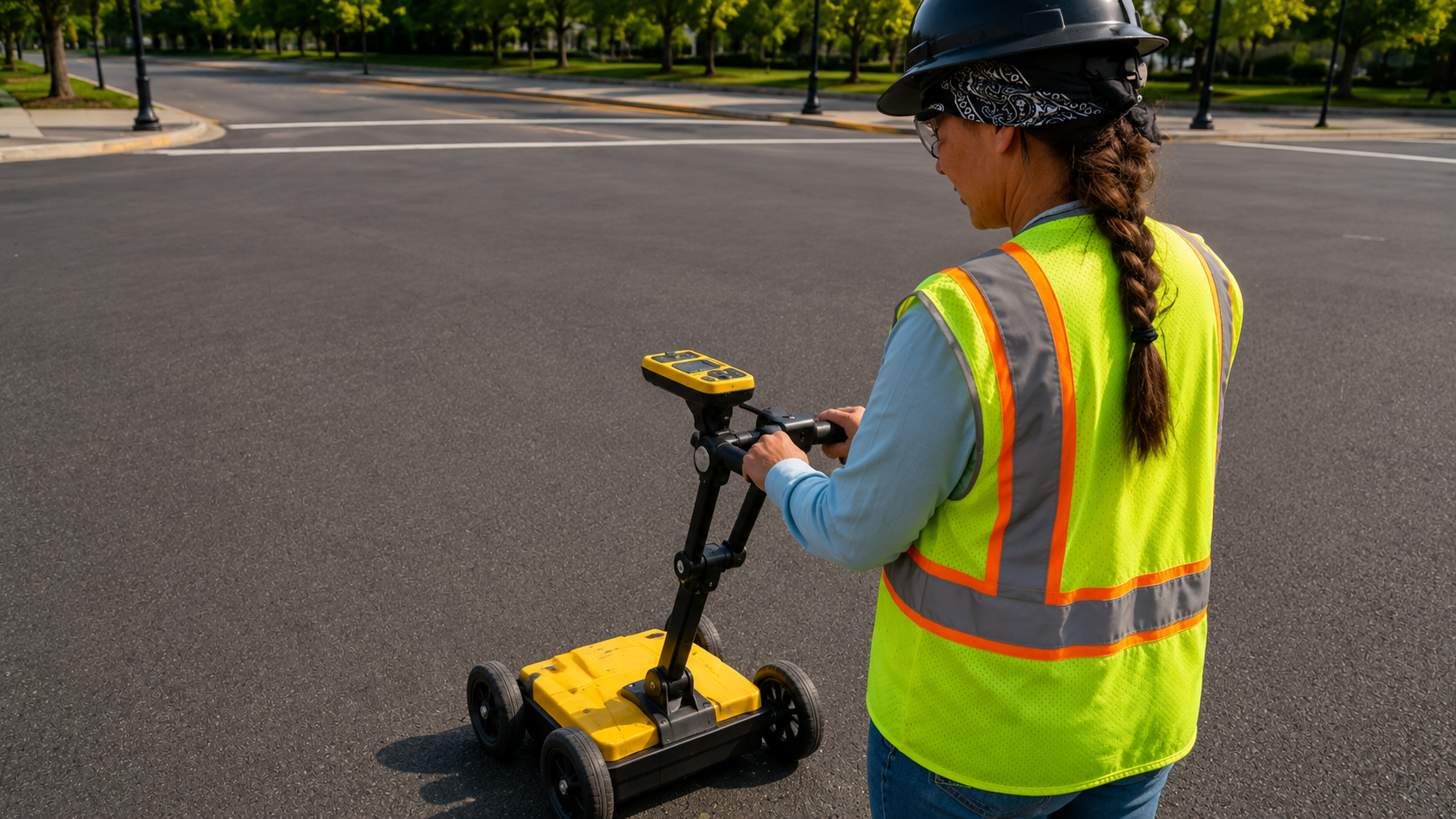
We deliver GPS/GIS Mapping with high-accuracy data collection, creating reliable digital utility maps that improve asset management, planning, maintenance, and future development.
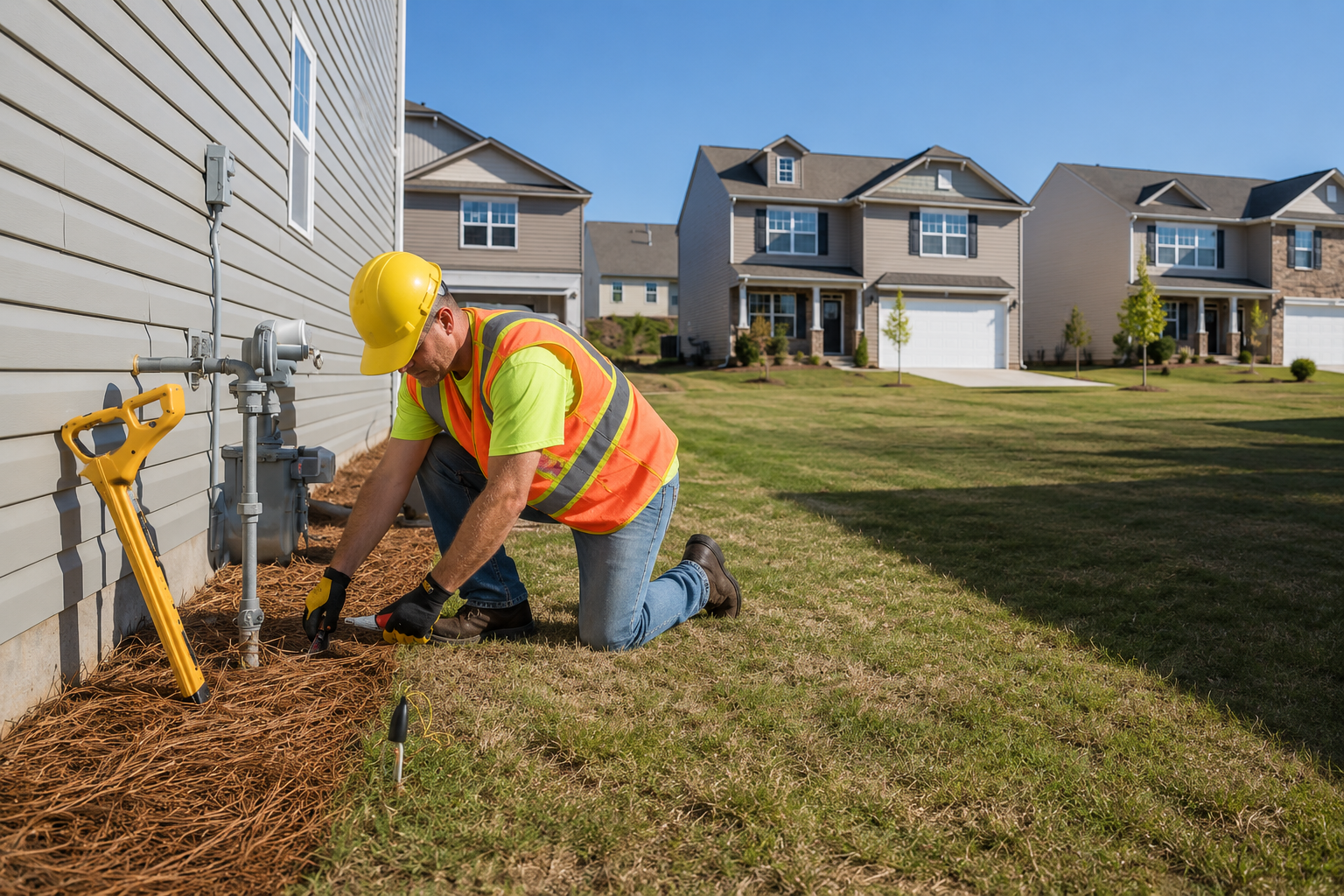
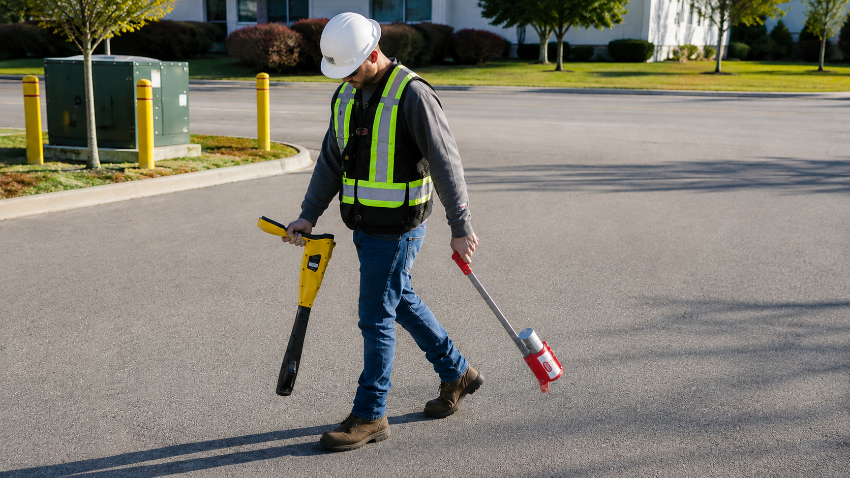
We accurately perform private utility locating before excavation using advanced detection equipment, helping prevent utility strikes, improve job site safety, and reduce costly project delays.
The Process
Our Simple 3 Step Process

Contact Us
Start by completing the 'Get a Free Quote' form on our website to share your needs with us so we can take care of you.

Schedule Your Estimate
Next, we'll arrange a property visit at a time that works for you to provide an in-person estimate for your needs.

Get The Job Done
After you approve our estimate, we'll schedule a date to complete the job. Our team will work hard to exceed your expectations!
photo gallery
See Why Our Customers Love Us
Our Service Area?
Newark
Jersey City
Paterson
Elizabeth
Edison
Woodbridge
Lakewood
Toms River
Hamilton
Trenton
Clifton
Camden
Passaic
Union City
Bayonne
East Orange
Vineland
New Brunswick
Hoboken
Perth Amboy
Plainfield
West New York
Hackensack
Sayreville
Linden
Kearny
Atlantic City
Fort Lee
Fair Lawn
Long Branch
Middletown
Morristown
Bridgeton
Paramus
Englewood
Ridgewood
Freehold
Cherry Hill
Mount Laurel
Moorestown
Marlboro
Jackson
Manalapan
Princeton
South Brunswick
North Brunswick
Piscataway
Somerset
Franklin Park
Rahway
Carteret
Secaucus
Weehawken
Rutherford
Bloomfield
Nutley
Belleville
Montclair
Wayne
Mahwah
Our Reviews
What Our Customers Have to Say About Us!
“Excellent service from start to finish. The team was professional, accurate, and thorough with the utility locating and mapping. They helped us move forward with our project confidently and safely.”

“Very impressed with the quality of work. The crew arrived on time, clearly marked the utilities, and explained everything we needed to know before excavation. Highly recommend their services.”
“Fast, reliable, and extremely professional. Their attention to detail made a big difference on our project. Great communication and accurate utility locating. We will definitely use them again.”
FREQUENTLY ASKED QUESTIONS
What is private utility locating?
Private utility locating is the process of identifying underground utilities such as electric, gas, water, sewer, communication, and irrigation lines that are privately owned. This helps contractors and property owners excavate safely and avoid damaging buried infrastructure.
When should I schedule utility locating before excavation?
You should schedule utility locating before any digging, trenching, drilling, boring, fence installation, or landscaping project. Locating underground utilities before work begins reduces the risk of utility strikes, project delays, and costly repairs.
What is Ground Penetrating Radar (GPR) scanning used for?
Ground Penetrating Radar (GPR) uses radar technology to detect underground utilities, voids, rebar, post-tension cables, and other buried objects. It is commonly used before excavation, concrete cutting, coring, and construction projects.
What is the difference between utility locating and concrete scanning?
Utility locating identifies underground utilities buried in soil, while concrete scanning detects objects hidden inside concrete slabs and walls, including rebar, conduits, post-tension cables, and voids before drilling or cutting.
What is included in GPS/GIS mapping?
GPS/GIS mapping records the precise location of underground utilities using GPS technology and organizes the data into digital GIS maps. These maps help contractors, engineers, and property owners manage underground infrastructure for future maintenance and construction projects.
Request A Free Quote
BUSINESS
SERVICES
SERVICES
SERVICE AREAS
OPERATING HOURS
Sun: Closed
Mon: 7:00am - 7:00pm
Tue: 7:00am - 7:00pm
Wed: 7:00am - 7:00pm
Thu: 7:00am - 7:00pm
Fri: 7:00am - 7:00pm
Sat: 7:00am - 7:00pm